Map of America, issued in 1713. Published in London by J. Churchill and T. Childe. The map measures 16 x 18 cm, folded to 20 x 12 cm
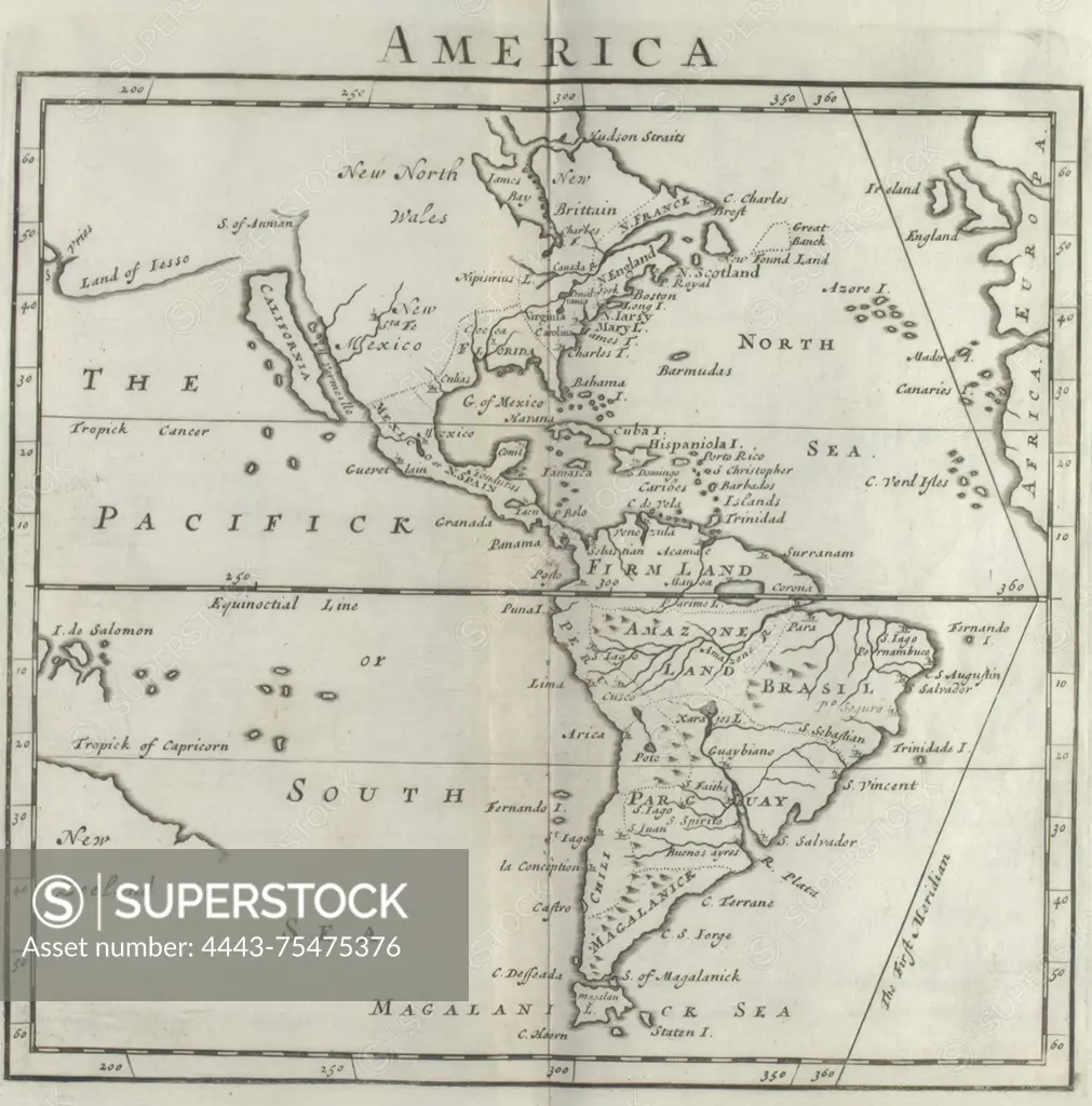
SuperStock offers millions of photos, videos, and stock assets to creatives around the world. This image of Map of America, issued in 1713. Published in London by J. Churchill and T. Childe. The map measures 16 x 18 cm, folded to 20 x 12 cm by Artokoloro is available for licensing today.
Looking for a license?
Click here, and we'll help you find it! Questions? Just ask!
Click here, and we'll help you find it! Questions? Just ask!
DETAILS
Image Number: 4443-75475376Rights ManagedCredit Line:Artokoloro/SuperStockCollection:Artokoloro Model Release:NoProperty Release:NoResolution:2656×2689