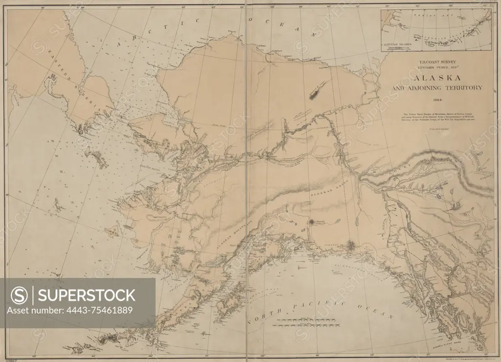
Map of Alaska and adjoining territory, created in 1869 by the United States Coast Survey. The map is color-coded and measures 60 x 84 cm, printed on a sheet that is 65 x 88 cm. It was published in Washington, D.C. The New York Public Library Map Division copy features an accession number stamped in the lower left corner 53887
SuperStock offers millions of photos, videos, and stock assets to creatives around the world. This image of Map of Alaska and adjoining territory, created in 1869 by the United States Coast Survey. The map is color-coded and measures 60 x 84 cm, printed on a sheet that is 65 x 88 cm. It was published in Washington, D.C. The New York Public Library Map Division copy features an accession number stamped in the lower left corner 53887 by Artokoloro is available for licensing today.
Looking for a license?
Click here, and we'll help you find it! Questions? Just ask!
Click here, and we'll help you find it! Questions? Just ask!
DETAILS
Image Number: 4443-75461889Rights ManagedCredit Line:Artokoloro/SuperStockCollection:Artokoloro Model Release:NoProperty Release:NoResolution:5700×4126