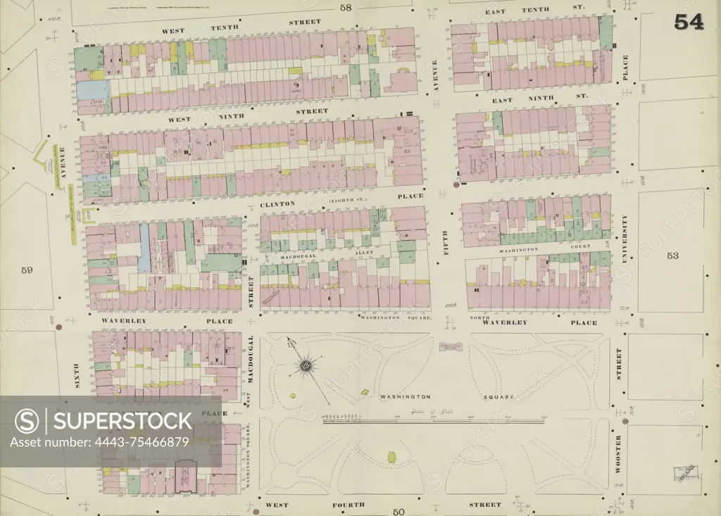
Manhattan, Double Page Plate No. 54 Map bounded by E. 10th St., Wooster St., University Pl., W. 4th St., 6th Ave., W. 10th St. Issued between 1884 and 1895 by the Sanborn Map Company. The map focuses on fire insurance, real property, and urban details of New York (State)
SuperStock offers millions of photos, videos, and stock assets to creatives around the world. This image of Manhattan, Double Page Plate No. 54 Map bounded by E. 10th St., Wooster St., University Pl., W. 4th St., 6th Ave., W. 10th St. Issued between 1884 and 1895 by the Sanborn Map Company. The map focuses on fire insurance, real property, and urban details of New York (State) by Artokoloro is available for licensing today.
Looking for a license?
Click here, and we'll help you find it! Questions? Just ask!
Click here, and we'll help you find it! Questions? Just ask!
DETAILS
Image Number: 4443-75466879Rights ManagedCredit Line:Artokoloro/SuperStockCollection:Artokoloro Model Release:NoProperty Release:NoResolution:5700×4084