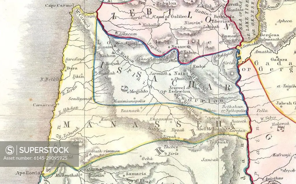
Manasseh. 1852 Philip Map of Palestine - Israel - Holy Land
SuperStock offers millions of photos, videos, and stock assets to creatives around the world. This image of Explore Historical Geography: Ancient Map of the Holy Land with Detailed Boundaries and Regions by Piemags/PL Photography Limited is available for licensing today.
DETAILS
Image Number: 6145-29095925Royalty FreeCredit Line:Piemags/PL Photography Limited/SuperStockCollection: