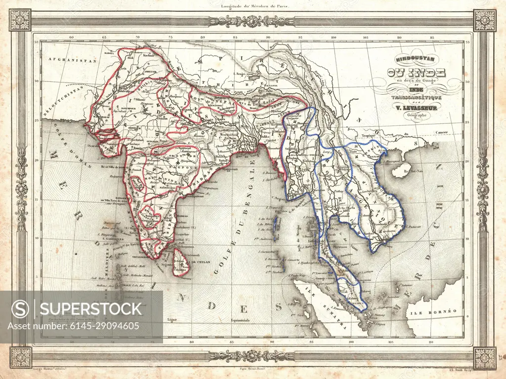
1852 Levasseur Map of India and Southeast Asia
SuperStock offers millions of photos, videos, and stock assets to creatives around the world. This image of Explore the Historical Map of British India and Southeast Asia: Delve into 19th Century Geography and Colonial Boundaries by Piemags/PL Photography Limited is available for licensing today.
Looking for a license?
Click here, and we'll help you find it! Questions? Just ask!
Click here, and we'll help you find it! Questions? Just ask!
DETAILS
Image Number: 6145-29094605Royalty FreeCredit Line:Piemags/PL Photography Limited/SuperStockCollection:PL Photography Limited Contributor:Piemags Model Release:NoProperty Release:NoResolution:3500×2625