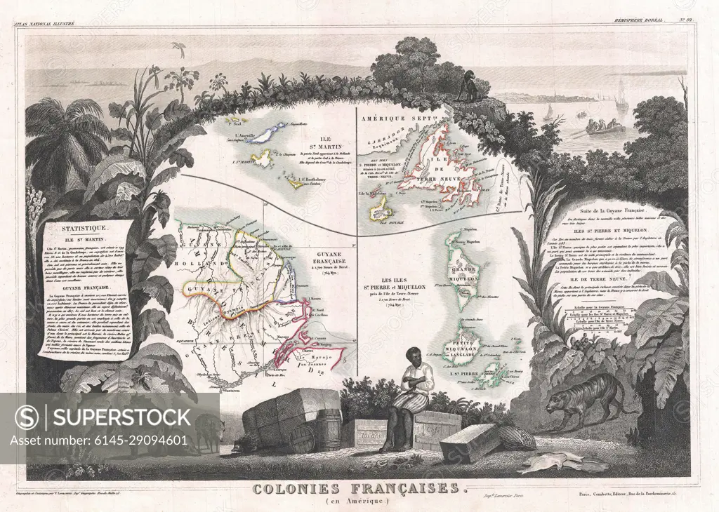
1852 Levasseur Map of Guyana, Miquelon, Newfoundland, and St. Martin
SuperStock offers millions of photos, videos, and stock assets to creatives around the world. This image of Explore Historical French Colonies: Intriguing 1839 Map Illustration Unveiling Geography and Colonial History by Piemags/PL Photography Limited is available for licensing today.
Looking for a license?
Click here, and we'll help you find it! Questions? Just ask!
Click here, and we'll help you find it! Questions? Just ask!
DETAILS
Image Number: 6145-29094601Royalty FreeCredit Line:Piemags/PL Photography Limited/SuperStockCollection:PL Photography Limited Contributor:Piemags Model Release:NoProperty Release:NoResolution:3500×2496