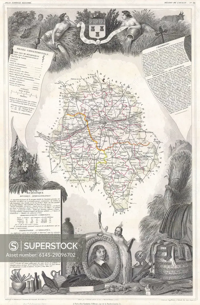
1847 Levasseur Map of the Dept. D'Indre et Loire, France
SuperStock offers millions of photos, videos, and stock assets to creatives around the world. This image of Explore the Historic Map of Surrey: A Detailed 19th-Century Cartographic Treasure by Piemags/PL Photography Limited is available for licensing today.
Looking for a license?
Click here, and we'll help you find it! Questions? Just ask!
Click here, and we'll help you find it! Questions? Just ask!
DETAILS
Image Number: 6145-29096702Royalty FreeCredit Line:Piemags/PL Photography Limited/SuperStockCollection:PL Photography Limited Contributor:Piemags Model Release:NoProperty Release:NoResolution:1973×3000