1849 Land Survey Map of Michigan Upper Peninsula
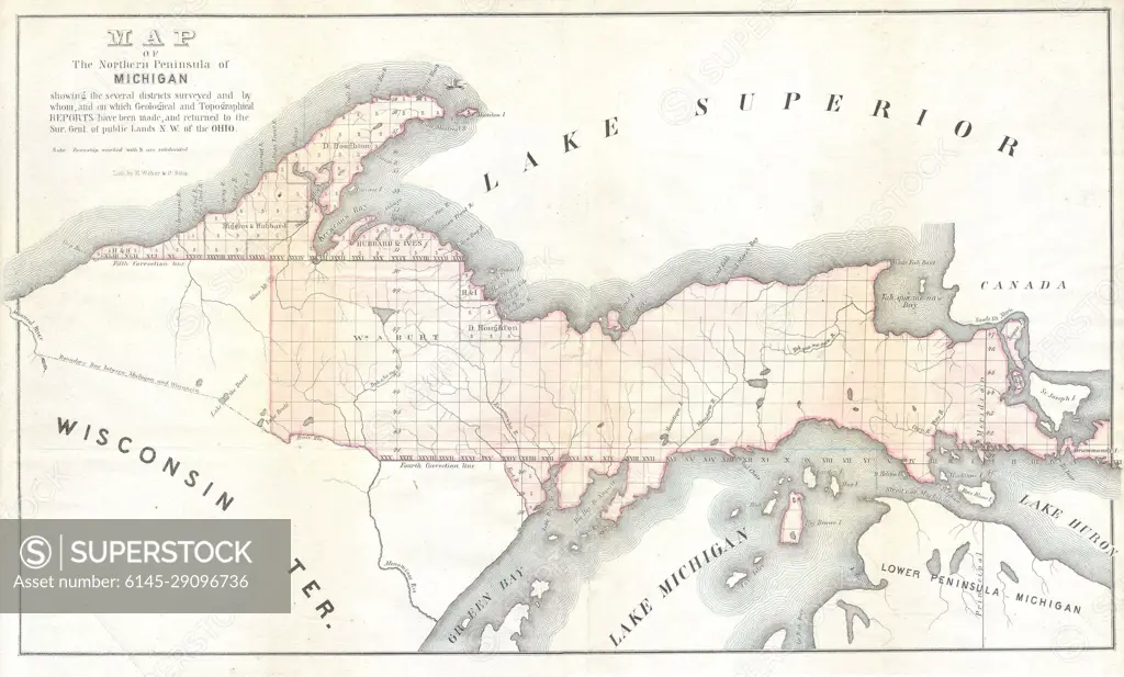
SuperStock offers millions of photos, videos, and stock assets to creatives around the world. This image of Explore the historic Upper Peninsula of Michigan with this vintage map highlighting Lake Superior and early territorial boundaries. by Piemags/PL Photography Limited is available for licensing today.
Looking for a license?
Click here, and we'll help you find it! Questions? Just ask!
Click here, and we'll help you find it! Questions? Just ask!
DETAILS
Image Number: 6145-29096736Royalty FreeCredit Line:Piemags/PL Photography Limited/SuperStockCollection: