1786 La Perouse Map of San Francisco, Monterey Bay, California and Oregon
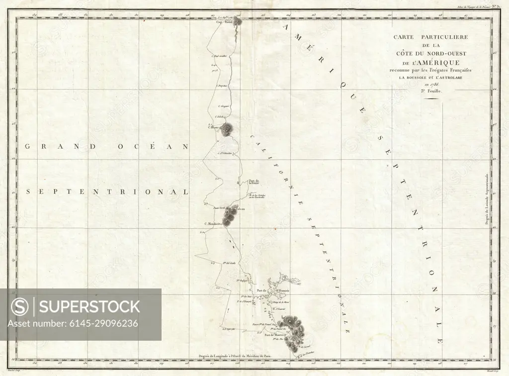
SuperStock offers millions of photos, videos, and stock assets to creatives around the world. This image of Explore Historical Cartography: 18th Century Map of North America's Pacific Coastline by Piemags/PL Photography Limited is available for licensing today.
Looking for a license?
Click here, and we'll help you find it! Questions? Just ask!
Click here, and we'll help you find it! Questions? Just ask!
DETAILS
Image Number: 6145-29096236Royalty FreeCredit Line:Piemags/PL Photography Limited/SuperStockCollection: