La Paz in Bolivia is the highest administrative capital worldwide and is located in the Altiplano high level of the Andes at more than 3,500 m above sea level La Paz, Bolivia, Aerial View flying over the denses, Urban CityScape. South America.
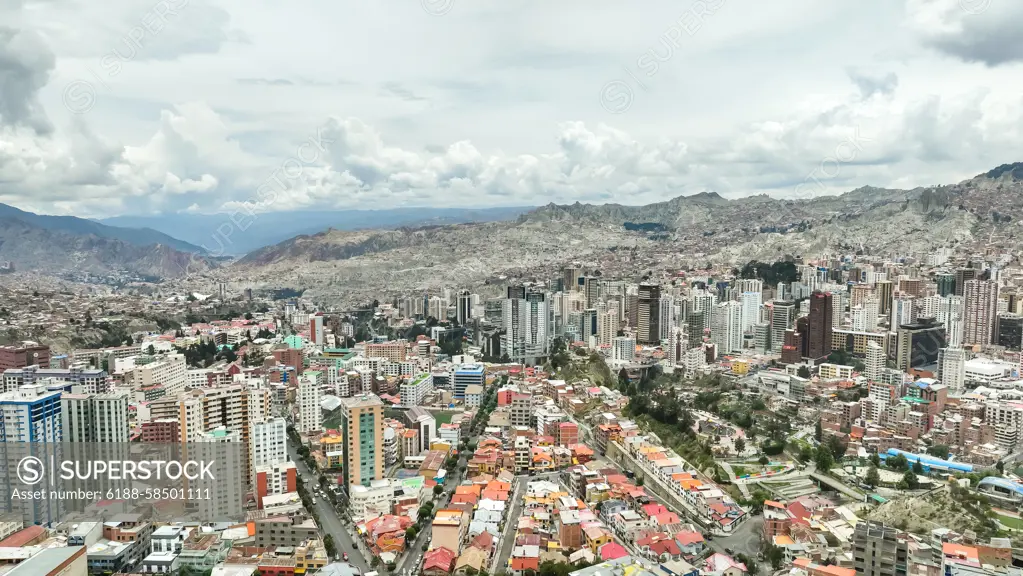
SuperStock offers millions of photos, videos, and stock assets to creatives around the world. This image of La Paz in Bolivia is the highest administrative capital worldwide and is located in the Altiplano high level of the Andes at more than 3,500 m above sea level La Paz, Bolivia, Aerial View flying over the denses, Urban CityScape. South America. by IMAGO/Zoonar is available for licensing today.
Looking for a license?
Click here, and we'll help you find it! Questions? Just ask!
Click here, and we'll help you find it! Questions? Just ask!
DETAILS
Image Number: 6188-58501111Royalty FreeCredit Line:IMAGO/Zoonar/SuperStockCollection:Imago Contributor:IMAGO/Zoonar Model Release:NoProperty Release:NoResolution:5280×2970