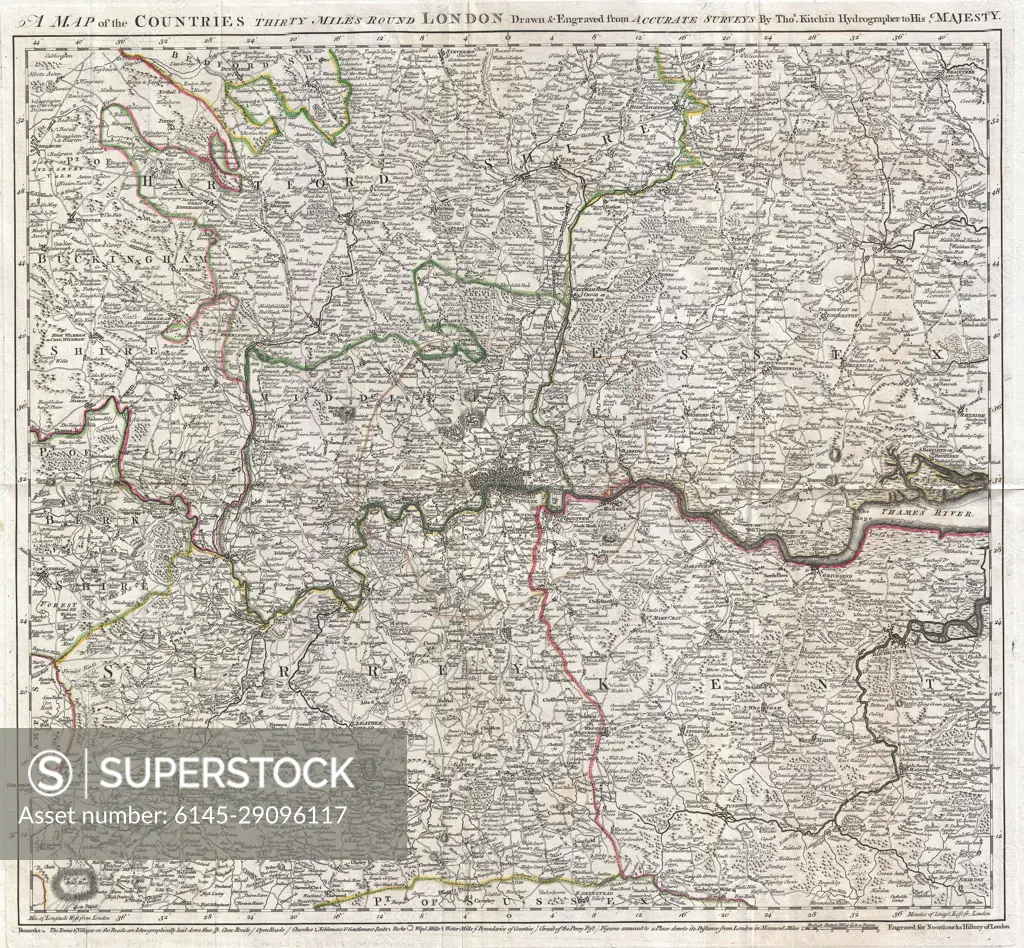
1773 Kitchin Map of the Country 30 Miles around London, England
SuperStock offers millions of photos, videos, and stock assets to creatives around the world. This image of Antique London Map: Historical Cartography Highlighting 19th Century England Geography and Landmarks. by Piemags/PL Photography Limited is available for licensing today.
Looking for a license?
Click here, and we'll help you find it! Questions? Just ask!
Click here, and we'll help you find it! Questions? Just ask!
DETAILS
Image Number: 6145-29096117Royalty FreeCredit Line:Piemags/PL Photography Limited/SuperStockCollection: