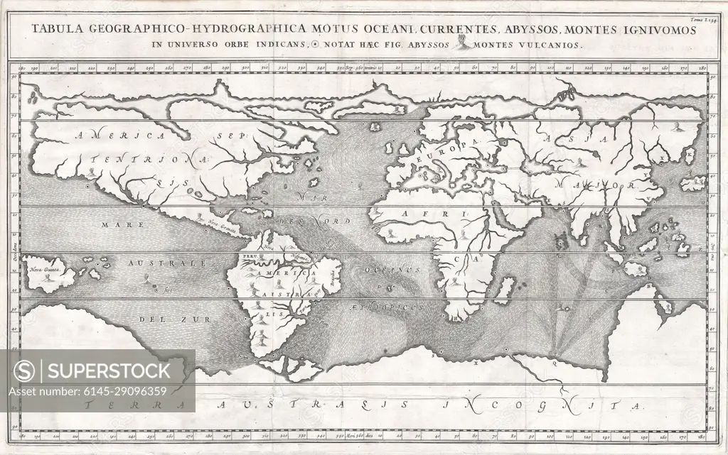
1665 Kircher Map of the World (Earliest Map of World to Show Currents)
SuperStock offers millions of photos, videos, and stock assets to creatives around the world. This image of Explore the Fascinating 17th Century Ancient World Map – A Glimpse into Historical Geography and Cartography Techniques. by Piemags/PL Photography Limited is available for licensing today.
Looking for a license?
Click here, and we'll help you find it! Questions? Just ask!
Click here, and we'll help you find it! Questions? Just ask!
DETAILS
Image Number: 6145-29096359Royalty FreeCredit Line:Piemags/PL Photography Limited/SuperStockCollection:PL Photography Limited Contributor:Piemags Model Release:NoProperty Release:NoResolution:5000×3132