1866 Johnson Map of Virginia, West Virginia, Maryland and Delaware
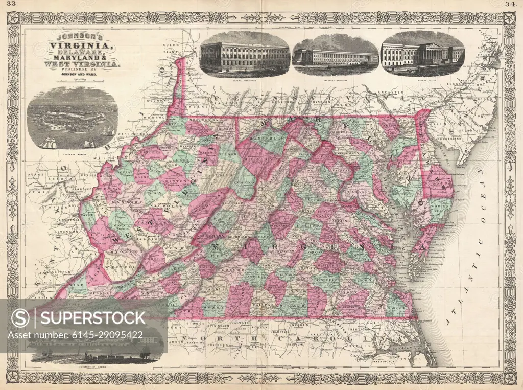
SuperStock offers millions of photos, videos, and stock assets to creatives around the world. This image of Explore the Historical Boundaries: Vintage Map of Virginia, Maryland, and West Virginia Featuring Detailed County Lines and Iconic Landmarks. by Piemags/PL Photography Limited is available for licensing today.
DETAILS
Image Number: 6145-29095422Royalty FreeCredit Line:Piemags/PL Photography Limited/SuperStockCollection: