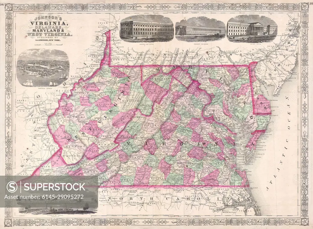
1864 Johnson's Map of Virginia, Delaware, Maryland and West Virginia
SuperStock offers millions of photos, videos, and stock assets to creatives around the world. This image of Explore the Historical Map of Virginia and Maryland: Vintage Cartography Insights by Piemags/PL Photography Limited is available for licensing today.
Looking for a license?
Click here, and we'll help you find it! Questions? Just ask!
Click here, and we'll help you find it! Questions? Just ask!
DETAILS
Image Number: 6145-29095272Royalty FreeCredit Line:Piemags/PL Photography Limited/SuperStockCollection: