1864 Johnson Map of Idaho, Dakota, Nebraska, Kansas and Colorado
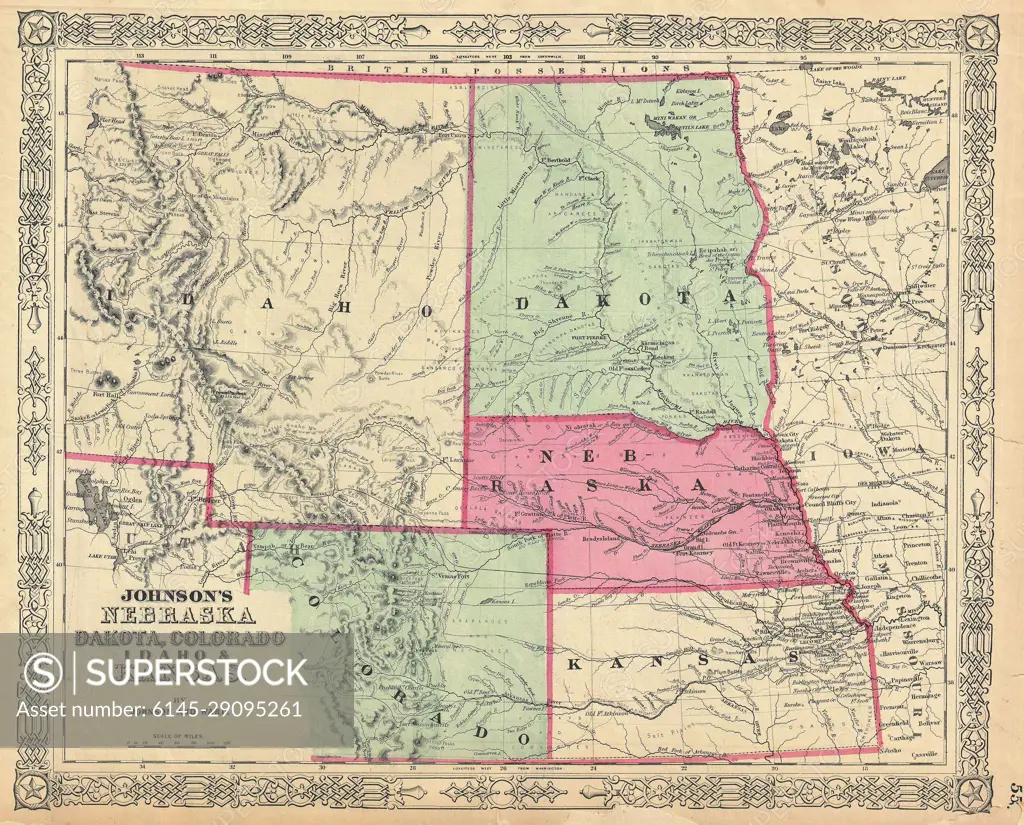
SuperStock offers millions of photos, videos, and stock assets to creatives around the world. This image of Explore Historic Cartography: 1860s Johnson's Map of Nebraska, Dakota, Colorado, Montana, and Kansas by Piemags/PL Photography Limited is available for licensing today.
DETAILS
Image Number: 6145-29095261Royalty FreeCredit Line:Piemags/PL Photography Limited/SuperStockCollection: