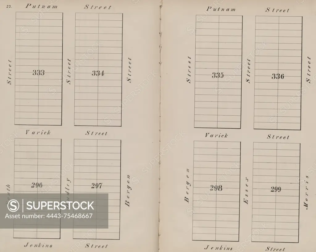
Jersey City, V. 1, Double Page Plate No. 22 Map bounded by Putnam St., Morris St., Jenkins St., and South St., issued in 1866 by I.B. Culver & Co. The map showcases the layout of Jersey City, N.J., and is related to fire insurance
SuperStock offers millions of photos, videos, and stock assets to creatives around the world. This image of Jersey City, V. 1, Double Page Plate No. 22 Map bounded by Putnam St., Morris St., Jenkins St., and South St., issued in 1866 by I.B. Culver & Co. The map showcases the layout of Jersey City, N.J., and is related to fire insurance by Artokoloro is available for licensing today.
Looking for a license?
Click here, and we'll help you find it! Questions? Just ask!
Click here, and we'll help you find it! Questions? Just ask!
DETAILS
Image Number: 4443-75468667Rights ManagedCredit Line:Artokoloro/SuperStockCollection:Artokoloro Model Release:NoProperty Release:NoResolution:5700×4553