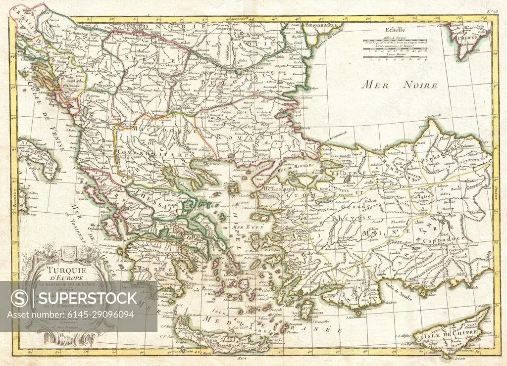
1771 Janvier Map of Greece, Turkey, Macedonia andamp, the Balkans
SuperStock offers millions of photos, videos, and stock assets to creatives around the world. This image of Explore a Detailed Historical Map of the Balkans and Turkey: Discover the Geographic Layout of Southeastern Europe and Western Asia in the 18th Century. by Piemags/PL Photography Limited is available for licensing today.
Looking for a license?
Click here, and we'll help you find it! Questions? Just ask!
Click here, and we'll help you find it! Questions? Just ask!
DETAILS
Image Number: 6145-29096094Royalty FreeCredit Line:Piemags/PL Photography Limited/SuperStockCollection:PL Photography Limited Contributor:Piemags Model Release:NoProperty Release:NoResolution:3500×2530