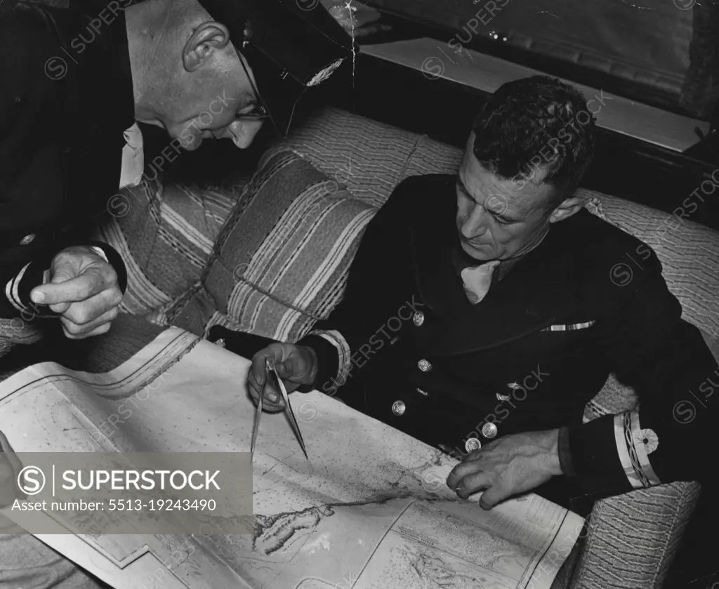
***** Infantry Brigade Manoeurge off Woonona.Volunteer Coastal Patrol who collaborated with the army senior officer W. Giles, shipper F.L. Baries, stirding map of coast line & defence areas.Prep. in reading the coast. March 27, 1939.
SuperStock offers millions of photos, videos, and stock assets to creatives around the world. This image of Nautical Navigation: Officers Analyzing a Maritime Map for Strategic Planning. by Sydney Morning Herald is available for licensing today.
DETAILS
Image Number: 5513-19243490Rights ManagedCredit Line:Sydney Morning Herald/SuperStockCollection: