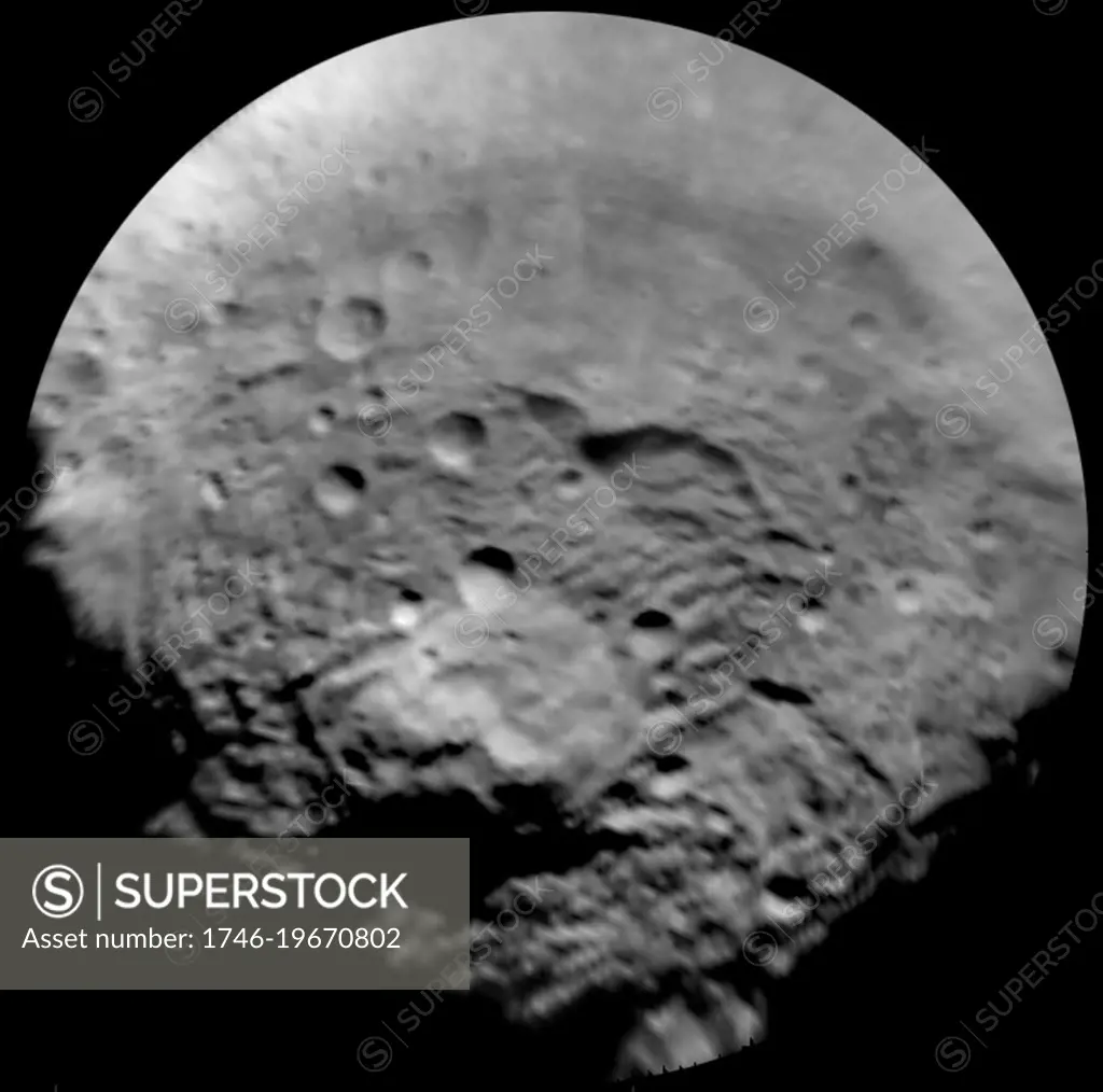
This image, taken by the framing camera instrument aboard NASA's Dawn spacecraft, shows the south polar region of this object, which has a diameter of 330 miles (530 kilometers). The image was taken through the clear filter on July 9, 2011, as part of a rotation characterization sequence, and it has a scale of about 2.2 miles (3.5 kilometers) per pixel. To enhance details, the resolution was enlarged to .6 miles (1 kilometer) per pixel. This region is characterized by rough topography, a large mountain, impact craters, grooves and steep scarps. The original image was map-projected, centered at 55 degrees southern latitude and 210 degrees eastern longitude.
SuperStock offers millions of photos, videos, and stock assets to creatives around the world. This image of This image, taken by the framing camera instrument aboard NASA's Dawn spacecraft, shows the south polar region of this object, which has a diameter of 330 miles (530 kilometers). The image was taken through the clear filter on July 9, 2011, as part of a rotation characterization sequence, and it has a scale of about 2.2 miles (3.5 kilometers) per pixel. To enhance details, the resolution was enlarged to .6 miles (1 kilometer) per pixel. This region is characterized by rough topography, a large mountain, impact craters, grooves and steep scarps. The original image was map-projected, centered at 55 degrees southern latitude and 210 degrees eastern longitude. by World History Archive/Image Asset Management is available for licensing today.
Looking for a license?
Click here, and we'll help you find it! Questions? Just ask!
Click here, and we'll help you find it! Questions? Just ask!
DETAILS
Image Number: 1746-19670802Rights ManagedCredit Line:World History Archive/Image Asset Management/SuperStockCollection:Image Asset Management Contributor:World History Archive Model Release:NoProperty Release:NoResolution:4199×4162