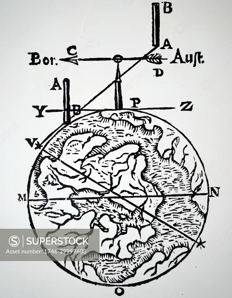
Illustration showing Map making and surveying using a magnetic compass. Bor is north and Aust is south. From Athanasius Kircher Magnes: sive de arte magnetica, 1643
SuperStock offers millions of photos, videos, and stock assets to creatives around the world. This image of Illustration showing Map making and surveying using a magnetic compass. Bor is north and Aust is south. From Athanasius Kircher Magnes: sive de arte magnetica, 1643 by World History Archive/Image Asset Management is available for licensing today.
Looking for a license?
Click here, and we'll help you find it! Questions? Just ask!
Click here, and we'll help you find it! Questions? Just ask!
DETAILS
Image Number: 1746-29999603Rights ManagedCredit Line:World History Archive/Image Asset Management/SuperStockCollection:Image Asset Management Contributor:World History Archive Model Release:NoProperty Release:NoResolution:4037×5195