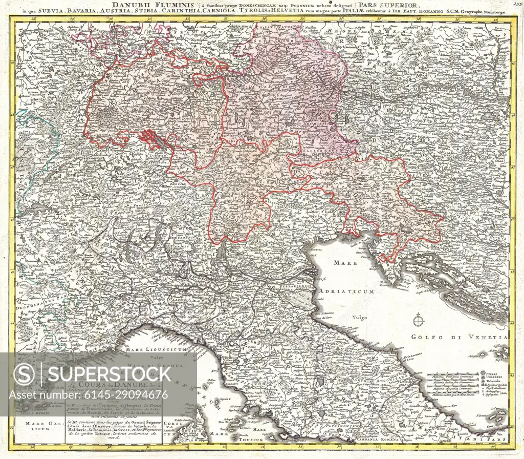
1720 Homann Map of Northern Italy &Danubii Fluminis&
SuperStock offers millions of photos, videos, and stock assets to creatives around the world. This image of Explore Historical Europe: Vintage Danube Map Showcasing 18th Century Geography and Borders. by Piemags/PL Photography Limited is available for licensing today.
DETAILS
Image Number: 6145-29094676Royalty FreeCredit Line:Piemags/PL Photography Limited/SuperStockCollection: