Historical map of Sanbornton, 1882, published by Alfred Mudge and Son. The map features hand-colored details and measures 64 x 50 cm, printed on a sheet measuring 72 x 57 cm. It depicts real property and landowners in Sanbornton, New Hampshire, including notable areas such as Franklin Falls and Tilton. The date of issuance is 1882, and it is believed to have been published in Boston, Massachusetts
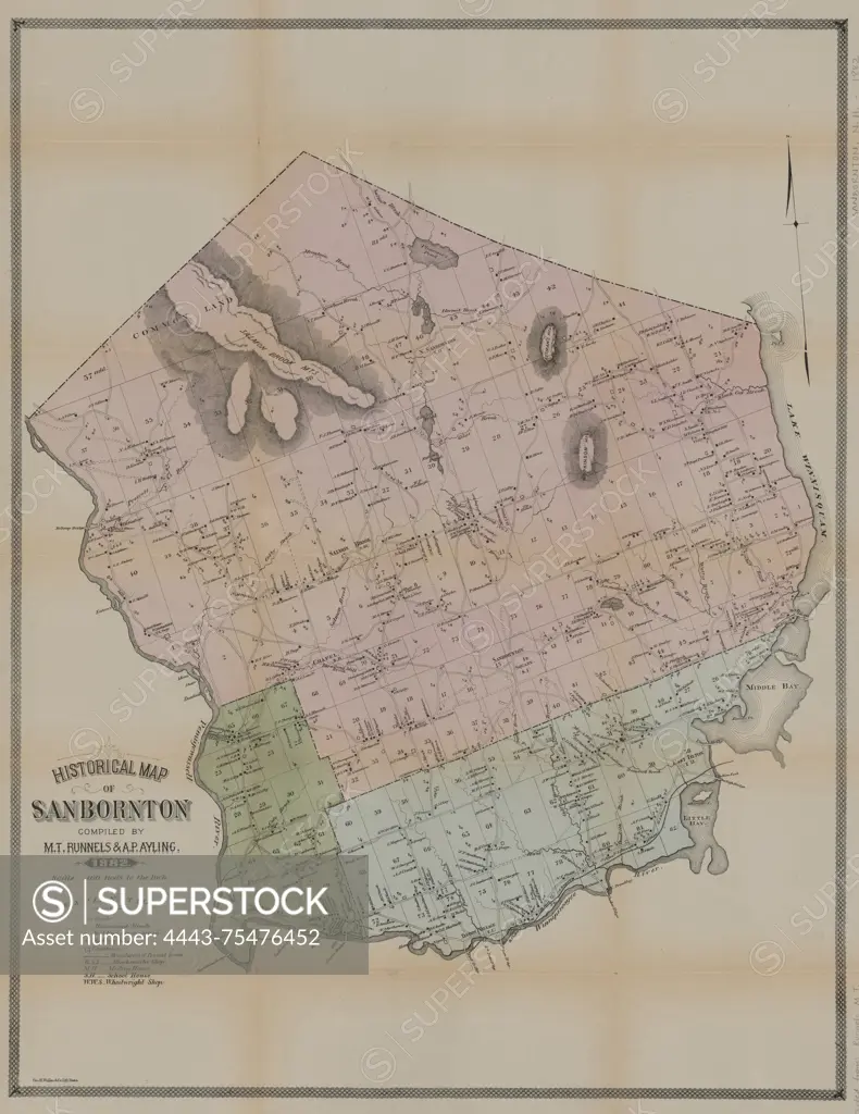
SuperStock offers millions of photos, videos, and stock assets to creatives around the world. This image of Historical map of Sanbornton, 1882, published by Alfred Mudge and Son. The map features hand-colored details and measures 64 x 50 cm, printed on a sheet measuring 72 x 57 cm. It depicts real property and landowners in Sanbornton, New Hampshire, including notable areas such as Franklin Falls and Tilton. The date of issuance is 1882, and it is believed to have been published in Boston, Massachusetts by Artokoloro is available for licensing today.
Looking for a license?
Click here, and we'll help you find it! Questions? Just ask!
Click here, and we'll help you find it! Questions? Just ask!
DETAILS
Image Number: 4443-75476452Rights ManagedCredit Line:Artokoloro/SuperStockCollection:Artokoloro Model Release:NoProperty Release:NoResolution:4403×5700