1688 Hennepin First Book and Map of North America (first printed map to name Louisiana)
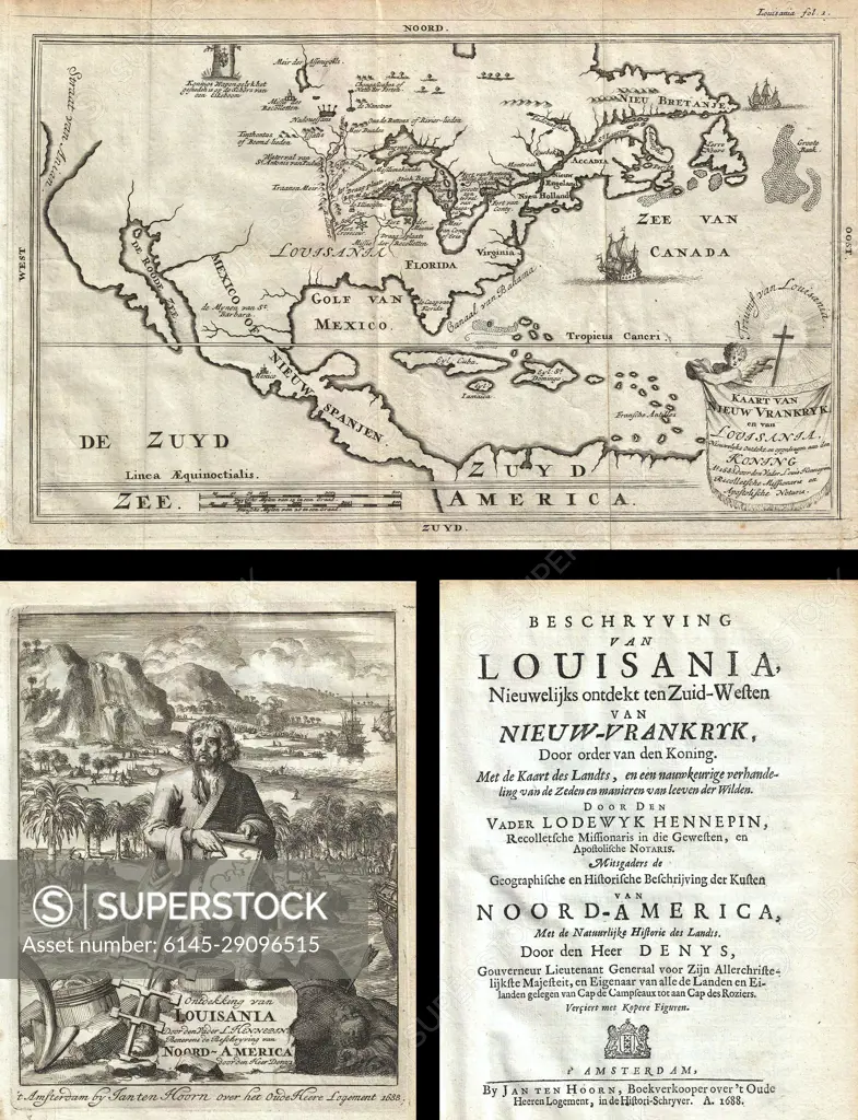
SuperStock offers millions of photos, videos, and stock assets to creatives around the world. This image of Explore Historic Cartography: Antique Map of 17th Century Louisiana and North America - A Glimpse into Colonial Geography and Exploration Narratives. by Piemags/PL Photography Limited is available for licensing today.
Looking for a license?
Click here, and we'll help you find it! Questions? Just ask!
Click here, and we'll help you find it! Questions? Just ask!
DETAILS
Image Number: 6145-29096515Royalty FreeCredit Line:Piemags/PL Photography Limited/SuperStockCollection:PL Photography Limited Contributor:Piemags Model Release:NoProperty Release:NoResolution:3070×4000