A hand-colored map of the New England states from 1830, created by H. & F.J. Huntington. The map measures 40 x 26 cm and is printed on a sheet that is 44 x 27 cm. The origin of the map is questionable, with Hartford noted as a possible place of publication
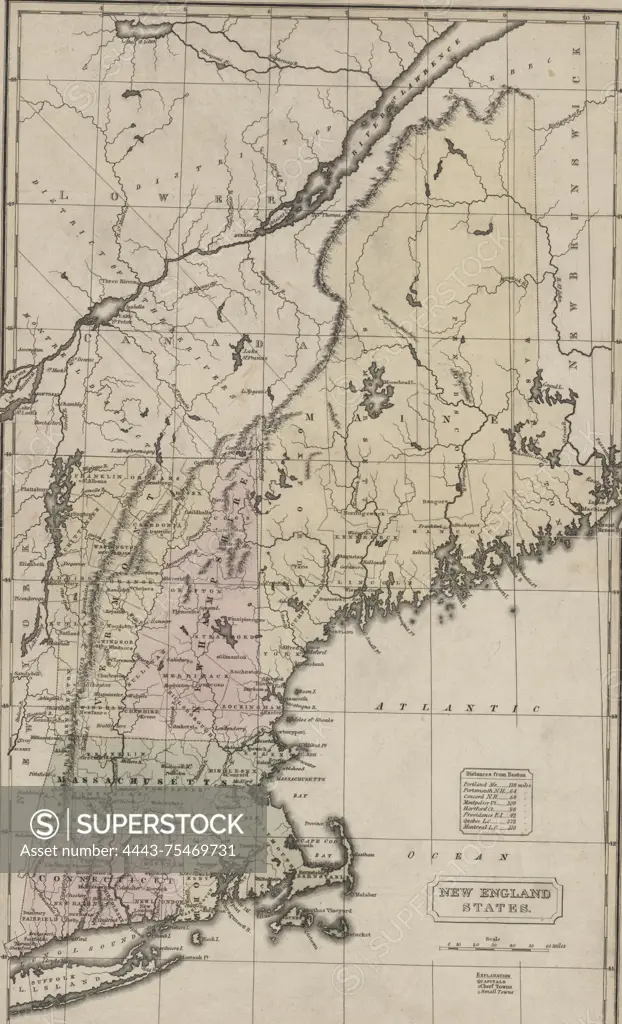
SuperStock offers millions of photos, videos, and stock assets to creatives around the world. This image of A hand-colored map of the New England states from 1830, created by H. & F.J. Huntington. The map measures 40 x 26 cm and is printed on a sheet that is 44 x 27 cm. The origin of the map is questionable, with Hartford noted as a possible place of publication by Artokoloro is available for licensing today.
Looking for a license?
Click here, and we'll help you find it! Questions? Just ask!
Click here, and we'll help you find it! Questions? Just ask!
DETAILS
Image Number: 4443-75469731Rights ManagedCredit Line:Artokoloro/SuperStockCollection:Artokoloro Model Release:NoProperty Release:NoResolution:3464×5700