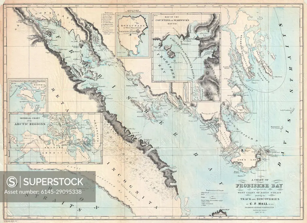
1865 Hall Map of Frobisher Bay, Baffin Island, Canada (important Arctic Exploration Map)
SuperStock offers millions of photos, videos, and stock assets to creatives around the world. This image of Explore Historical Cartography: Detailed 1860 Map of Hudson's Bay and Canadian Arctic Archipelago. by Piemags/PL Photography Limited is available for licensing today.
Looking for a license?
Click here, and we'll help you find it! Questions? Just ask!
Click here, and we'll help you find it! Questions? Just ask!
DETAILS
Image Number: 6145-29095338Royalty FreeCredit Line:Piemags/PL Photography Limited/SuperStockCollection: