Saaremaa, Estonia from Wikipedia: The Saaremaa island forms the elongated, narrow end of the island of Saaremaa. It is 32 km long and 10 km wide. The peninsula was first mentioned in 1234 under the name S WORDE. Sõrve today comprises the two rural communities of Salme in the north and Torgu in the south. The landscape is interesting for nature lovers, hiking tourists and bathers. The beaches offer ideal opportunities for windsurfers and paragliders. The 11 km long sand dunes of Järve are under nature conservation. Sõrve Peninsula Estonian: Sõrve Poolsaar is a Peninsula which Forms the SouthernMost Section of the Estonian Island Saaremaa. Its Langth is 32 km, and its maximum width 10 km. South of it read Irbe
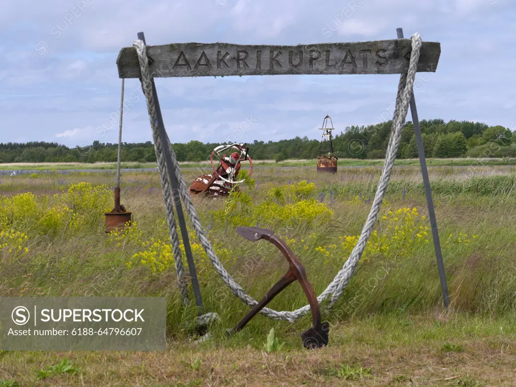
SuperStock offers millions of photos, videos, and stock assets to creatives around the world. This image of Saaremaa, Estonia from Wikipedia: The Saaremaa island forms the elongated, narrow end of the island of Saaremaa. It is 32 km long and 10 km wide. The peninsula was first mentioned in 1234 under the name S WORDE. Sõrve today comprises the two rural communities of Salme in the north and Torgu in the south. The landscape is interesting for nature lovers, hiking tourists and bathers. The beaches offer ideal opportunities for windsurfers and paragliders. The 11 km long sand dunes of Järve are under nature conservation. Sõrve Peninsula Estonian: Sõrve Poolsaar is a Peninsula which Forms the SouthernMost Section of the Estonian Island Saaremaa. Its Langth is 32 km, and its maximum width 10 km. South of it read Irbe by IMAGO/Zoonar is available for licensing today.
Looking for a license?
Click here, and we'll help you find it! Questions? Just ask!
Click here, and we'll help you find it! Questions? Just ask!
DETAILS
Image Number: 6188-64796607Royalty FreeCredit Line:IMAGO/Zoonar/SuperStockCollection:Imago Contributor:IMAGO/Zoonar Model Release:NoProperty Release:NoResolution:4608×3456