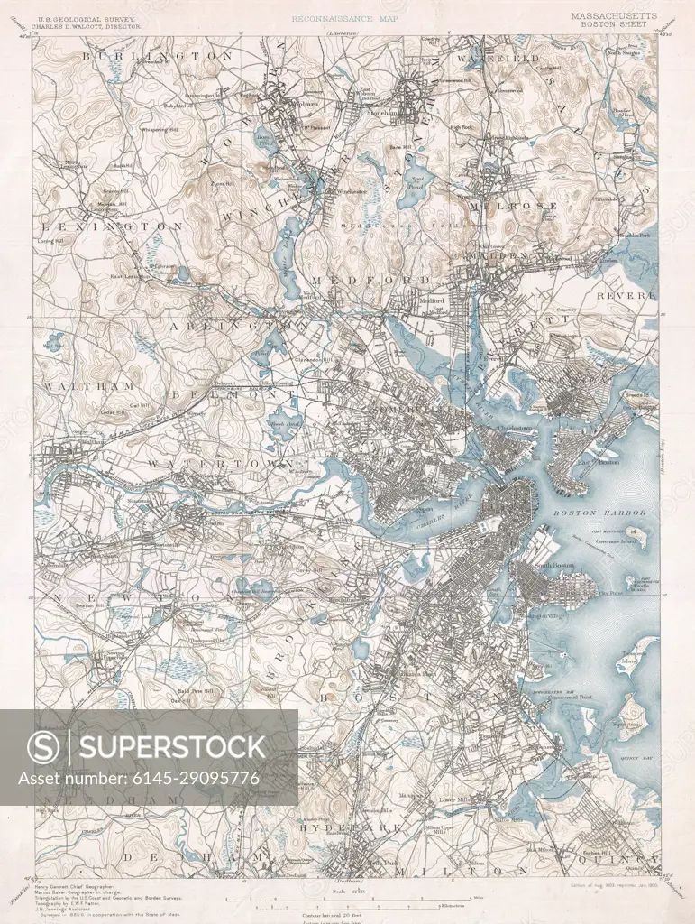
1900 U.S. Geological Survey of Boston and Vicinity, Massachusetts
SuperStock offers millions of photos, videos, and stock assets to creatives around the world. This image of Explore Historical Geographies: Vintage Topographic Map of Boston Area - Discover Urban Development and Landscape Changes Over Time by Piemags/PL Photography Limited is available for licensing today.
DETAILS
Image Number: 6145-29095776Royalty FreeCredit Line:Piemags/PL Photography Limited/SuperStockCollection: