A general map of North America from the latest observations, issued in 1783. The map measures 27 x 37 cm, folded to 20 x 13 cm. Published in London for J. Walker, it depicts the Constitutions and States of North America and is categorized as an early work to 1800
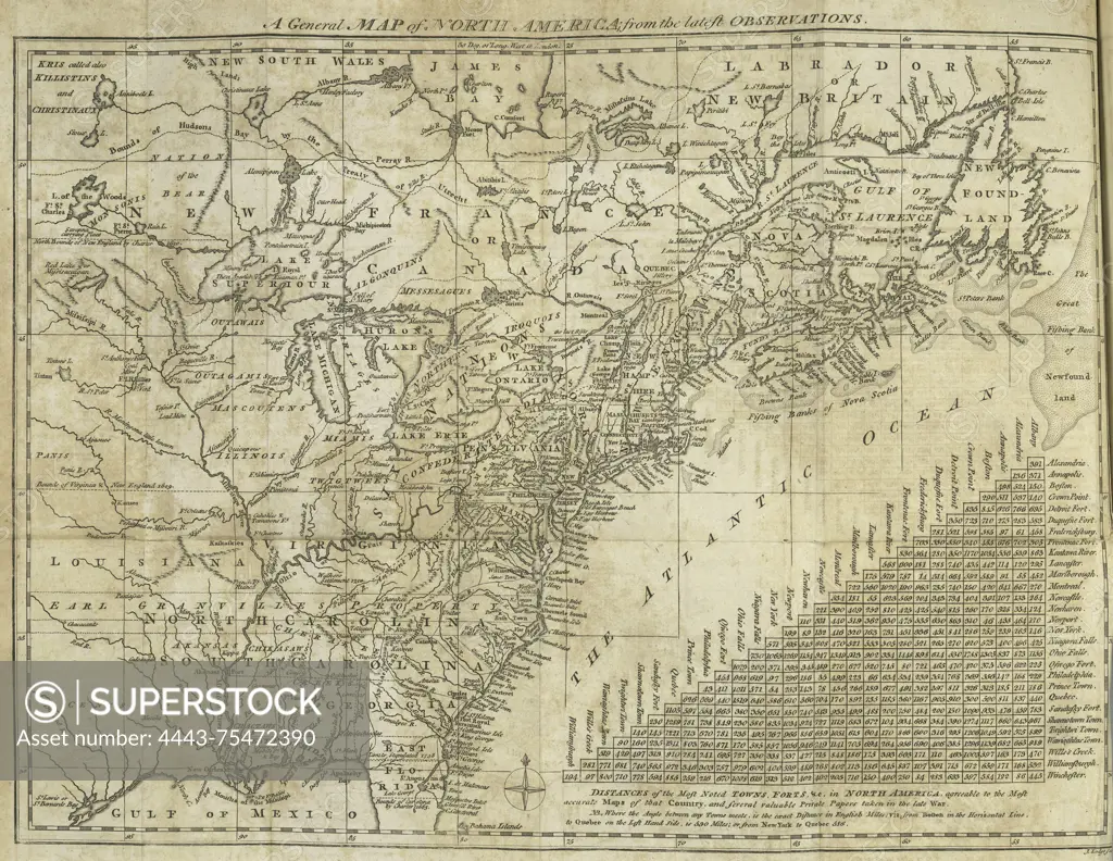
SuperStock offers millions of photos, videos, and stock assets to creatives around the world. This image of A general map of North America from the latest observations, issued in 1783. The map measures 27 x 37 cm, folded to 20 x 13 cm. Published in London for J. Walker, it depicts the Constitutions and States of North America and is categorized as an early work to 1800 by Artokoloro is available for licensing today.
Looking for a license?
Click here, and we'll help you find it! Questions? Just ask!
Click here, and we'll help you find it! Questions? Just ask!
DETAILS
Image Number: 4443-75472390Rights ManagedCredit Line:Artokoloro/SuperStockCollection:Artokoloro Model Release:NoProperty Release:NoResolution:3418×2644