French world map shows nautical exploration routes and political boundaries. Map by Guillaume Delisle. 1720
This asset has restrictions and cannot be purchased online. Get in touch for more details.
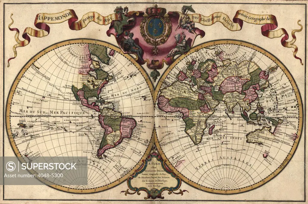
SuperStock offers millions of photos, videos, and stock assets to creatives around the world. This image of French world map shows nautical exploration routes and political boundaries. Map by Guillaume Delisle. 1720 by Everett Collection is available for licensing today.
Looking for a license?
Click here, and we'll help you find it! Questions? Just ask!
Click here, and we'll help you find it! Questions? Just ask!
DETAILS
Image Number: 4048-5300Rights ManagedCredit Line:Everett Collection/SuperStockCollection:Everett Collection Model Release:NoProperty Release:NoResolution:2550×1692