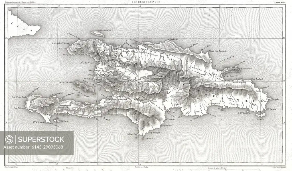
1859 Dufour Map of Hispaniola or Santo Domingo, West Indies (Haiti, Dominican Republic)
SuperStock offers millions of photos, videos, and stock assets to creatives around the world. This image of Explore the Detailed Historical Map of Hispaniola Island: A Glimpse into the Geography of the 19th Century Caribbean. by Piemags/PL Photography Limited is available for licensing today.
Looking for a license?
Click here, and we'll help you find it! Questions? Just ask!
Click here, and we'll help you find it! Questions? Just ask!
DETAILS
Image Number: 6145-29095068Royalty FreeCredit Line:Piemags/PL Photography Limited/SuperStockCollection:PL Photography Limited Contributor:Piemags Model Release:NoProperty Release:NoResolution:3500×2058