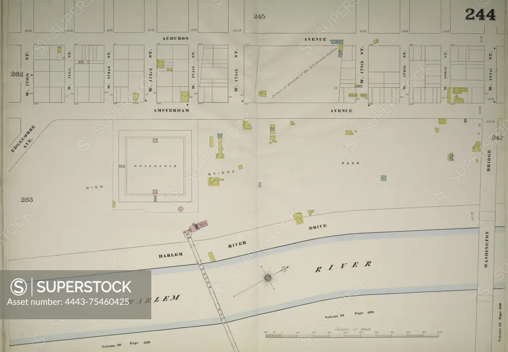
A double-page map of Manhattan, specifically Volume 11 1/2, Plate No. 244, detailing the area bounded by Audubon Avenue, West 181st Street, the Harlem River, and West 170th Street. This map was published by the Sanborn Map Company and covers the years 1884 to 1893. It is related to fire insurance and illustrates real property within the context of New York State's cities and towns
SuperStock offers millions of photos, videos, and stock assets to creatives around the world. This image of A double-page map of Manhattan, specifically Volume 11 1/2, Plate No. 244, detailing the area bounded by Audubon Avenue, West 181st Street, the Harlem River, and West 170th Street. This map was published by the Sanborn Map Company and covers the years 1884 to 1893. It is related to fire insurance and illustrates real property within the context of New York State's cities and towns by Artokoloro is available for licensing today.
Looking for a license?
Click here, and we'll help you find it! Questions? Just ask!
Click here, and we'll help you find it! Questions? Just ask!
DETAILS
Image Number: 4443-75460425Rights ManagedCredit Line:Artokoloro/SuperStockCollection:Artokoloro Model Release:NoProperty Release:NoResolution:5700×3954