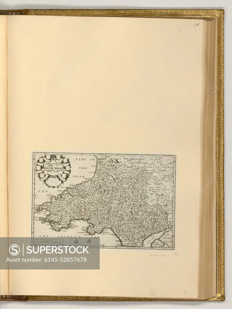
Depicts a map of South Wales, created as an etching between 1627 and 1677, showing geographical features, settlements, and topography.
SuperStock offers millions of photos, videos, and stock assets to creatives around the world. This image of Depicts a map of South Wales, created as an etching between 1627 and 1677, showing geographical features, settlements, and topography. by piemags/PL Photography Limited is available for licensing today.
Looking for a license?
Click here, and we'll help you find it! Questions? Just ask!
Click here, and we'll help you find it! Questions? Just ask!
DETAILS
Image Number: 6145-52857678Royalty FreeCredit Line:piemags/PL Photography Limited/SuperStockCollection:PL Photography Limited Contributor:piemags Model Release:NoProperty Release:NoResolution:1939×2577