Deforestation, Mato Grosso, Brazil, True Colour Satellite Image. True colour satellite image showing deforestation in progress between 1992 and 2001 in Amazonia in the State of Mato Grosso, using LANDSAT data.
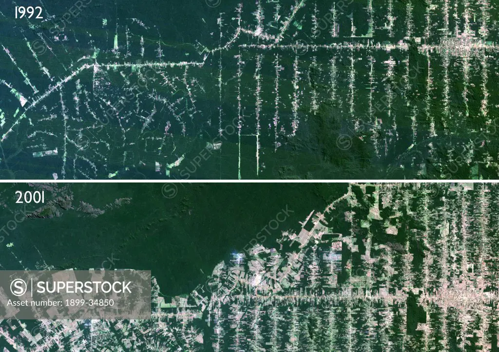
SuperStock offers millions of photos, videos, and stock assets to creatives around the world. This image of Deforestation, Mato Grosso, Brazil, True Colour Satellite Image. True colour satellite image showing deforestation in progress between 1992 and 2001 in Amazonia in the State of Mato Grosso, using LANDSAT data. by Universal Images is available for licensing today.
Looking for a license?
Click here, and we'll help you find it! Questions? Just ask!
Click here, and we'll help you find it! Questions? Just ask!
DETAILS
Image Number: 1899-34850Rights ManagedCredit Line:Universal Images/SuperStockCollection: