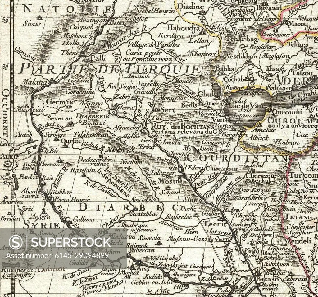
1724 De L'Isle Map of Persia (Iran, Iraq, Afghanistan)
SuperStock offers millions of photos, videos, and stock assets to creatives around the world. This image of Explore Historical Maps: 18th Century Middle Eastern Cartography Showcasing Regions of Turkey, Kurdistan, and Syria by Piemags/PL Photography Limited is available for licensing today.
Looking for a license?
Click here, and we'll help you find it! Questions? Just ask!
Click here, and we'll help you find it! Questions? Just ask!
DETAILS
Image Number: 6145-29094899Royalty FreeCredit Line:Piemags/PL Photography Limited/SuperStockCollection: