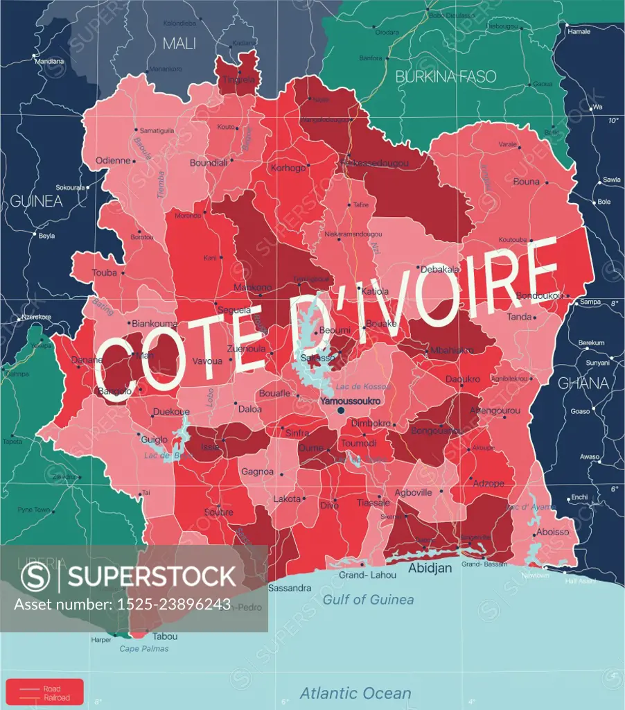
Cote d Ivoire country detailed editable map with regions cities and towns, roads and railways, geographic sites. Vector EPS-10 file. Cote d Ivoire country detailed editable map
SuperStock offers millions of photos, videos, and stock assets to creatives around the world. This image of Cote d Ivoire country detailed editable map with regions cities and towns, roads and railways, geographic sites. Vector EPS-10 file. Cote d Ivoire country detailed editable map by Ingram Publishing is available for licensing today.
Looking for a license?
Click here, and we'll help you find it! Questions? Just ask!
Click here, and we'll help you find it! Questions? Just ask!
DETAILS
Image Number: 1525-23896243Royalty FreeCredit Line:Ingram Publishing/SuperStockCollection:Ingram Publishing Model Release:NoProperty Release:NoType:Vector Image