Cook's map of Tahiti. Date: 1769
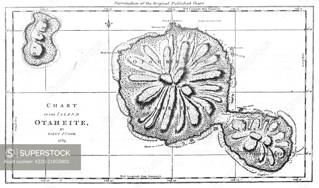
SuperStock offers millions of photos, videos, and stock assets to creatives around the world. This image of Explore the Historic Map of Otaheite (Tahiti) by Lieutenant Cook, 1797 - A Glimpse into 18th Century Cartography. by Mary Evans Picture Library/Pantheon is available for licensing today.
Looking for a license?
Click here, and we'll help you find it! Questions? Just ask!
Click here, and we'll help you find it! Questions? Just ask!
DETAILS
Image Number: 4220-21832802Rights ManagedCredit Line:Mary Evans Picture Library/Pantheon/SuperStockCollection:Mary Evans Picture Library Model Release:NoProperty Release:NoResolution:5700×3373