Connecticut State Map With Flag A detailed map of the state of Connecticut, featuring the state flag and various location icons. This map showcases Connecticut s geographical boundaries and key cities. Copyright: xsatedax
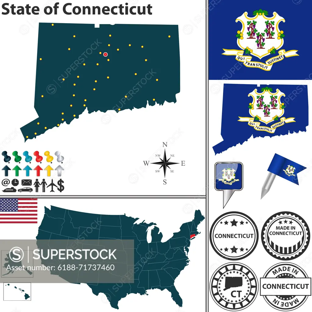
SuperStock offers millions of photos, videos, and stock assets to creatives around the world. This image of Connecticut State Map With Flag A detailed map of the state of Connecticut, featuring the state flag and various location icons. This map showcases Connecticut s geographical boundaries and key cities. Copyright: xsatedax by IMAGO/VectorStock is available for licensing today.
DETAILS
Image Number: 6188-71737460Royalty FreeCredit Line:IMAGO/VectorStock/SuperStockCollection: