CONGO - French and German officials, determined to correctly map the boundary between their territories, make their way through the marshy Lobaye valley. Date: 1913
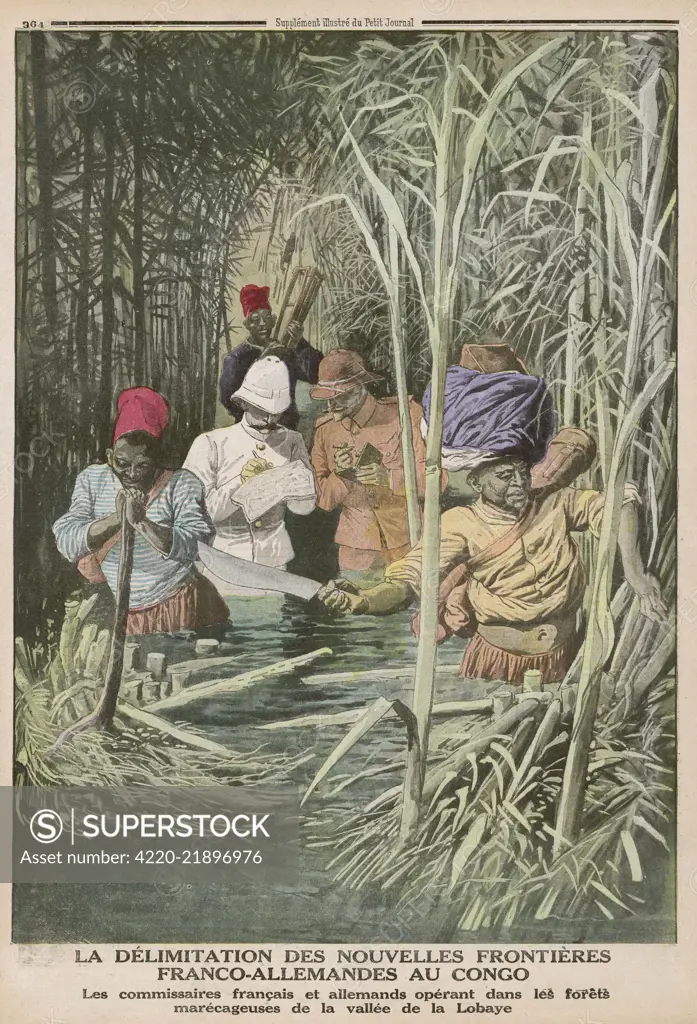
SuperStock offers millions of photos, videos, and stock assets to creatives around the world. This image of Historic Illustration: Franco-German Boundary Delimitation in the Congo Forests - Understanding Colonial History and Cultural Encounters by Mary Evans Picture Library/Pantheon is available for licensing today.
Looking for a license?
Click here, and we'll help you find it! Questions? Just ask!
Click here, and we'll help you find it! Questions? Just ask!
DETAILS
Image Number: 4220-21896976Rights ManagedCredit Line:Mary Evans Picture Library/Pantheon/SuperStockCollection:Mary Evans Picture Library Model Release:NoProperty Release:NoResolution:2671×3919