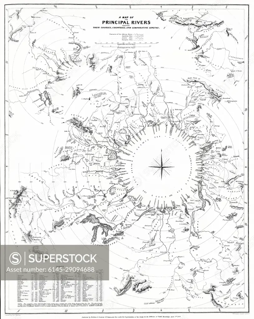
1834 S.D.U.K. Comparative Map or Chart of the World's Great Rivers
SuperStock offers millions of photos, videos, and stock assets to creatives around the world. This image of Explore 19th Century Cartography: Historical Map of Principal Rivers Worldwide by Piemags/PL Photography Limited is available for licensing today.
Looking for a license?
Click here, and we'll help you find it! Questions? Just ask!
Click here, and we'll help you find it! Questions? Just ask!
DETAILS
Image Number: 6145-29094688Royalty FreeCredit Line:Piemags/PL Photography Limited/SuperStockCollection:PL Photography Limited Contributor:Piemags Model Release:NoProperty Release:NoResolution:3638×4567