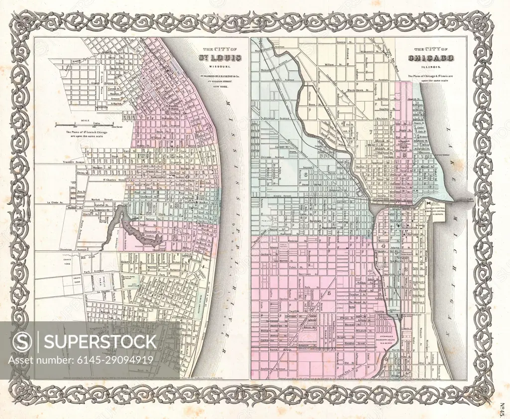
1855 Colton Plan or Map of Chicago, Illinois and St. Louis, Missouri
SuperStock offers millions of photos, videos, and stock assets to creatives around the world. This image of Explore Historical Urban Development: Vintage Map of St. Louis and Chicago - 19th Century Cartography. by Piemags/PL Photography Limited is available for licensing today.
Looking for a license?
Click here, and we'll help you find it! Questions? Just ask!
Click here, and we'll help you find it! Questions? Just ask!
DETAILS
Image Number: 6145-29094919Royalty FreeCredit Line:Piemags/PL Photography Limited/SuperStockCollection:PL Photography Limited Contributor:Piemags Model Release:NoProperty Release:NoResolution:4000×3287