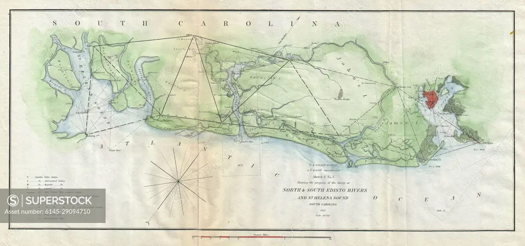
1852 U.S. Coast Survey Map of the North and South Edisto Rivers, South Carolina (Charleston)
SuperStock offers millions of photos, videos, and stock assets to creatives around the world. This image of Explore Historic North Carolina: Vintage Coastal Survey Map Revealing 19th Century Maritime Navigation and Geography. by Piemags/PL Photography Limited is available for licensing today.
Looking for a license?
Click here, and we'll help you find it! Questions? Just ask!
Click here, and we'll help you find it! Questions? Just ask!
DETAILS
Image Number: 6145-29094710Royalty FreeCredit Line:Piemags/PL Photography Limited/SuperStockCollection: