1861 U.S. Coast Survey Map of New York City Bay and Harbor
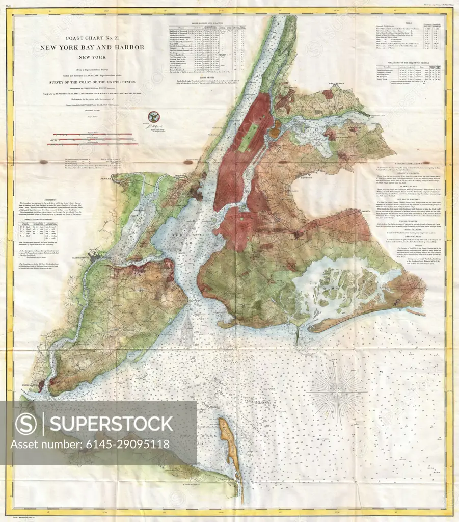
SuperStock offers millions of photos, videos, and stock assets to creatives around the world. This image of Explore Historical New York: Vintage Map of New York Bay and Harbor – A Glimpse into the Past Navigation and Geography. by Piemags/PL Photography Limited is available for licensing today.
Looking for a license?
Click here, and we'll help you find it! Questions? Just ask!
Click here, and we'll help you find it! Questions? Just ask!
DETAILS
Image Number: 6145-29095118Royalty FreeCredit Line:Piemags/PL Photography Limited/SuperStockCollection: