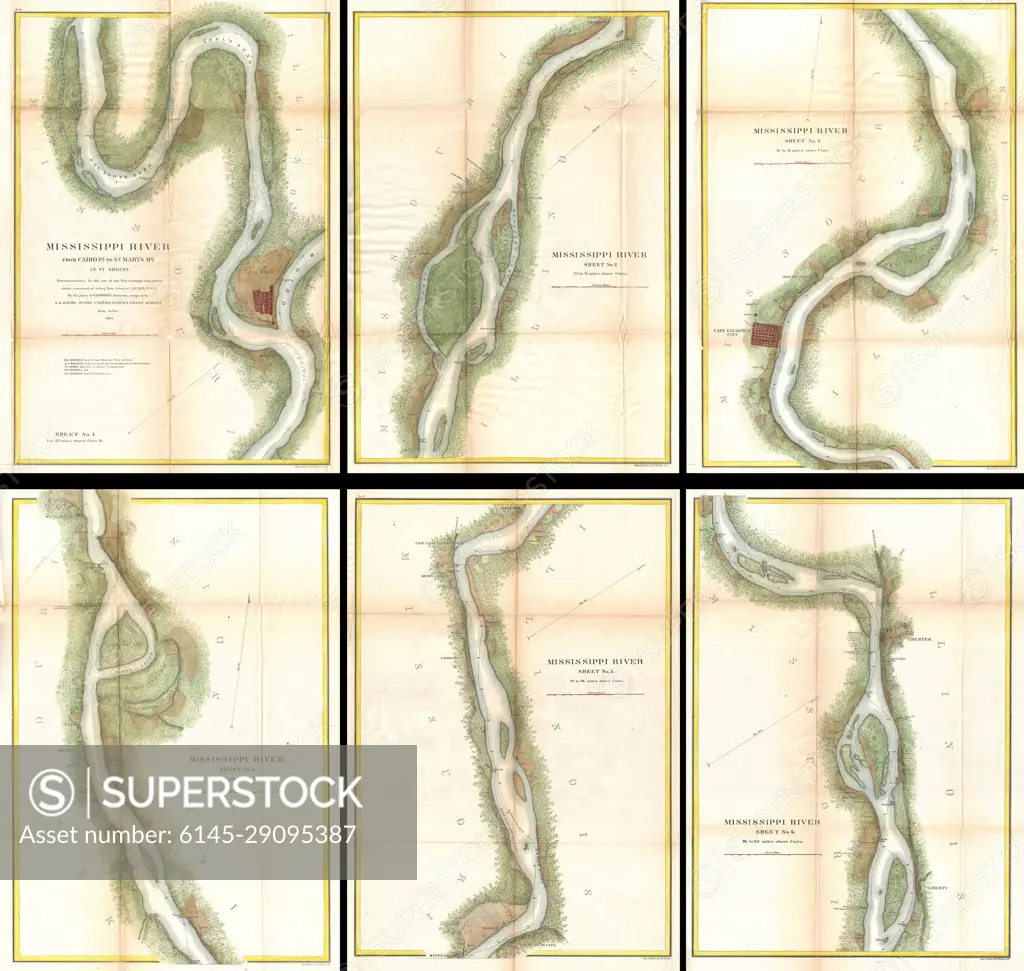
1865 U.S. Coast Survey Map of the Mississippi River from Cairo, IL to St. Marys, MO
SuperStock offers millions of photos, videos, and stock assets to creatives around the world. This image of Explore Historical Mississippi River Maps: Navigational Changes and Geographic Insights by Piemags/PL Photography Limited is available for licensing today.
Looking for a license?
Click here, and we'll help you find it! Questions? Just ask!
Click here, and we'll help you find it! Questions? Just ask!
DETAILS
Image Number: 6145-29095387Royalty FreeCredit Line:Piemags/PL Photography Limited/SuperStockCollection:PL Photography Limited Contributor:Piemags Model Release:NoProperty Release:NoResolution:6000×5692