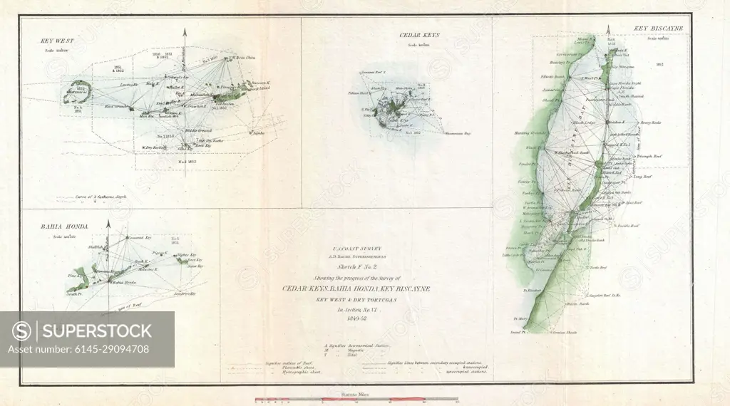
1852 U.S. Coast Survey Map of Key West, Biscayne Bay, and the Cedar Keys
SuperStock offers millions of photos, videos, and stock assets to creatives around the world. This image of Explore Historical Maps of East Asia: Discover Insights from Heine's 1856 Survey of Taiwan and Surrounding Islands. Perfect for Historians and Map Enthusiasts. by Piemags/PL Photography Limited is available for licensing today.
Looking for a license?
Click here, and we'll help you find it! Questions? Just ask!
Click here, and we'll help you find it! Questions? Just ask!
DETAILS
Image Number: 6145-29094708Royalty FreeCredit Line:Piemags/PL Photography Limited/SuperStockCollection:PL Photography Limited Contributor:Piemags Model Release:NoProperty Release:NoResolution:3000×1670