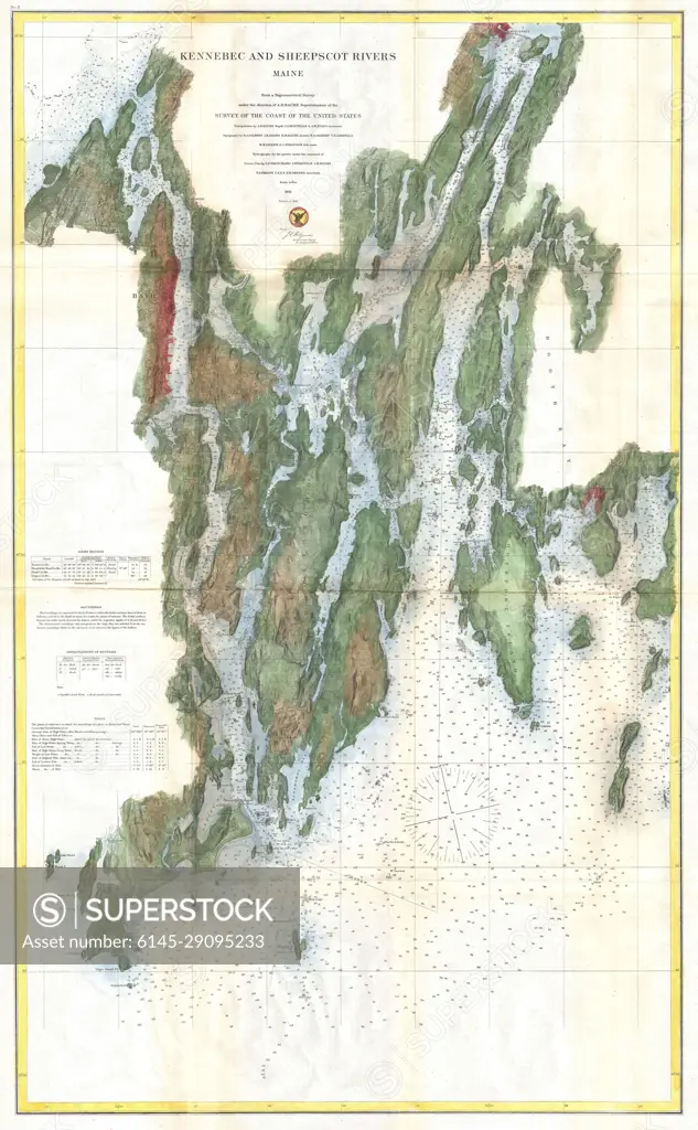
1862 U.S. Coast Survey Map of the Kennebec and Sheepscot Rivers, Maine (Nautical Chart)
SuperStock offers millions of photos, videos, and stock assets to creatives around the world. This image of Explore the Historical Charm of Long Island’s East River with an Antique Nautical Map: A Guide to Maritime Navigation and Coastal Landscapes by Piemags/PL Photography Limited is available for licensing today.
DETAILS
Image Number: 6145-29095233Royalty FreeCredit Line:Piemags/PL Photography Limited/SuperStockCollection: