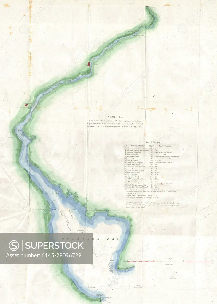
1848 U.S. Coast Survey Map of the Delaware Bay
SuperStock offers millions of photos, videos, and stock assets to creatives around the world. This image of Explore Historic Cartography: Detailed 19th Century Map of Put-in-Bay, Lake Erie – A Treasure for Map Enthusiasts and History Buffs by Piemags/PL Photography Limited is available for licensing today.
Looking for a license?
Click here, and we'll help you find it! Questions? Just ask!
Click here, and we'll help you find it! Questions? Just ask!
DETAILS
Image Number: 6145-29096729Royalty FreeCredit Line:Piemags/PL Photography Limited/SuperStockCollection: