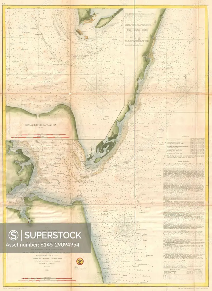
1855 U.S. Coast Survey Map of the Chesapeake Bay Entrance
SuperStock offers millions of photos, videos, and stock assets to creatives around the world. This image of Explore Historical Navigation: Antique 1855 Map of Florida's Gulf Coast - Maritime Routes and Coastal Landmarks by Piemags/PL Photography Limited is available for licensing today.
DETAILS
Image Number: 6145-29094954Royalty FreeCredit Line:Piemags/PL Photography Limited/SuperStockCollection: