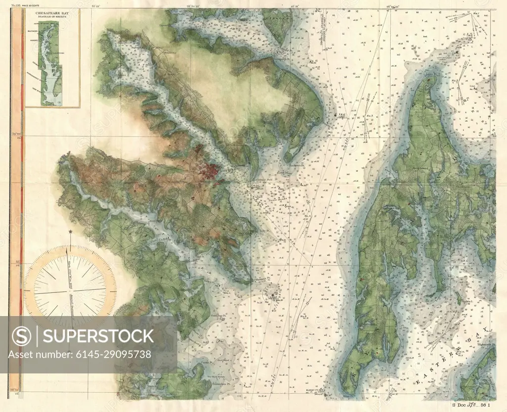
1895 U.S. Coast Survey Map of the Chesapeake Bay around Annapolis
SuperStock offers millions of photos, videos, and stock assets to creatives around the world. This image of Explore Historical Cartography: Detailed Vintage Nautical Map for Navigational Enthusiasts by Piemags/PL Photography Limited is available for licensing today.
DETAILS
Image Number: 6145-29095738Royalty FreeCredit Line:Piemags/PL Photography Limited/SuperStockCollection: