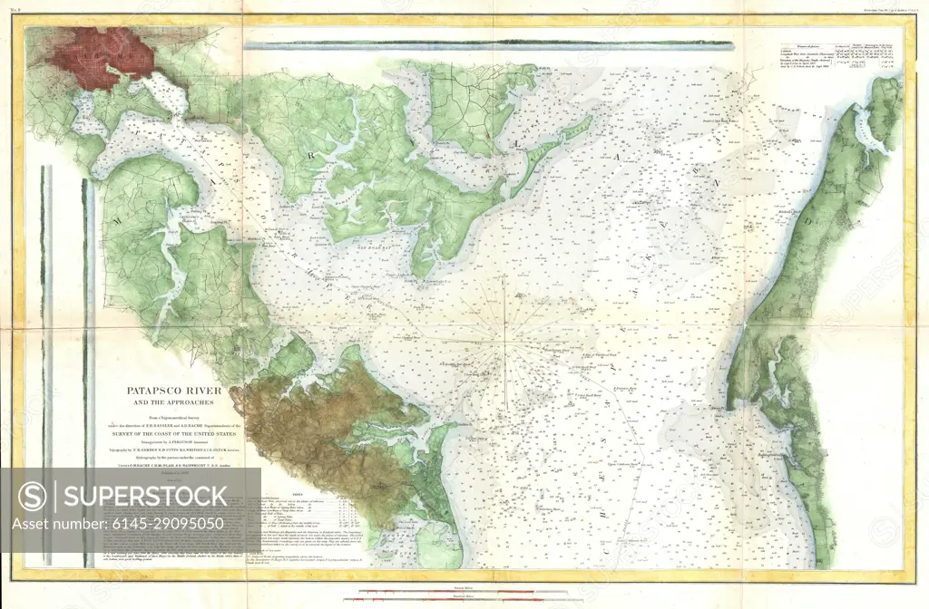
1857 U.S. Coast Survey Map or Chart of the Patapsco River, Chesapeake Bay and Baltimore
SuperStock offers millions of photos, videos, and stock assets to creatives around the world. This image of Explore Historical Navigation: 1859 Pacific Ocean Maritime Chart Detailing Puget Sound and Olympic Peninsula by Piemags/PL Photography Limited is available for licensing today.
Looking for a license?
Click here, and we'll help you find it! Questions? Just ask!
Click here, and we'll help you find it! Questions? Just ask!
DETAILS
Image Number: 6145-29095050Royalty FreeCredit Line:Piemags/PL Photography Limited/SuperStockCollection: