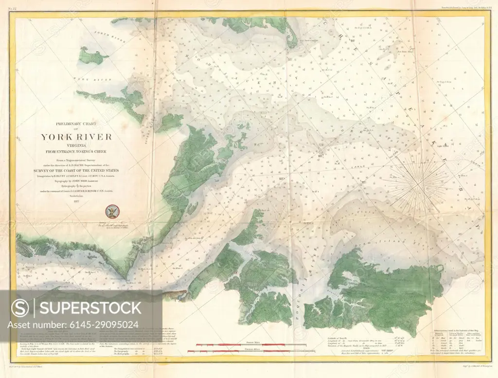
1857 U.S. Coast Survey Map or Chart of the Entrance to the York River, Virginia
SuperStock offers millions of photos, videos, and stock assets to creatives around the world. This image of Vintage York River Nautical Chart: Navigational Map of Virginia's Historic Waterway. by Piemags/PL Photography Limited is available for licensing today.
Looking for a license?
Click here, and we'll help you find it! Questions? Just ask!
Click here, and we'll help you find it! Questions? Just ask!
DETAILS
Image Number: 6145-29095024Royalty FreeCredit Line:Piemags/PL Photography Limited/SuperStockCollection: